
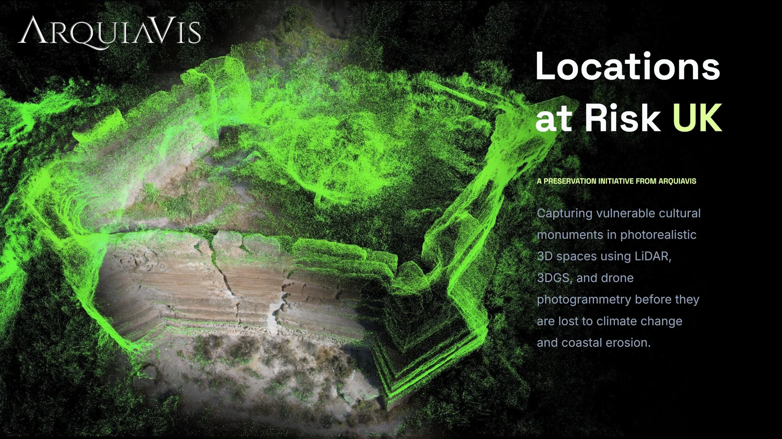
Locations at Risk
Digitally Preserving the UK's Vanishing Landscapes.
Our planet is changing at an unprecedented pace, and with it, some of our most cherished landscapes, historical sites, and ecological wonders are facing existential threats. Locations at Risk is a pioneering initiative dedicated to identifying, documenting, and digitally preserving UK sites that are critically endangered by climate change or destructive human activities. Check our Introduction Slideshow in the link to know more details about the project.
The Main Issues
The clock is ticking for England’s heritage sites
The United Kingdom is facing a growing number of environmental challenges that are threatening the physical integrity of its natural landscapes, protected habitats, historic settlements, buildings, and infrastructure. Climate change, pollution, economic pressures, and changing patterns of land use are accelerating the degradation of many places of cultural and environmental significance.
While significant efforts are being made to address these challenges, limited resources, rising maintenance costs, and the increasing scale of environmental change often make it difficult to protect every site at risk. In some cases, communities, heritage assets, and even entire landscapes may be lost before effective intervention can take place.
We are on a Mission
Documenting the UK’s most threatened places before they disappear over the following decades
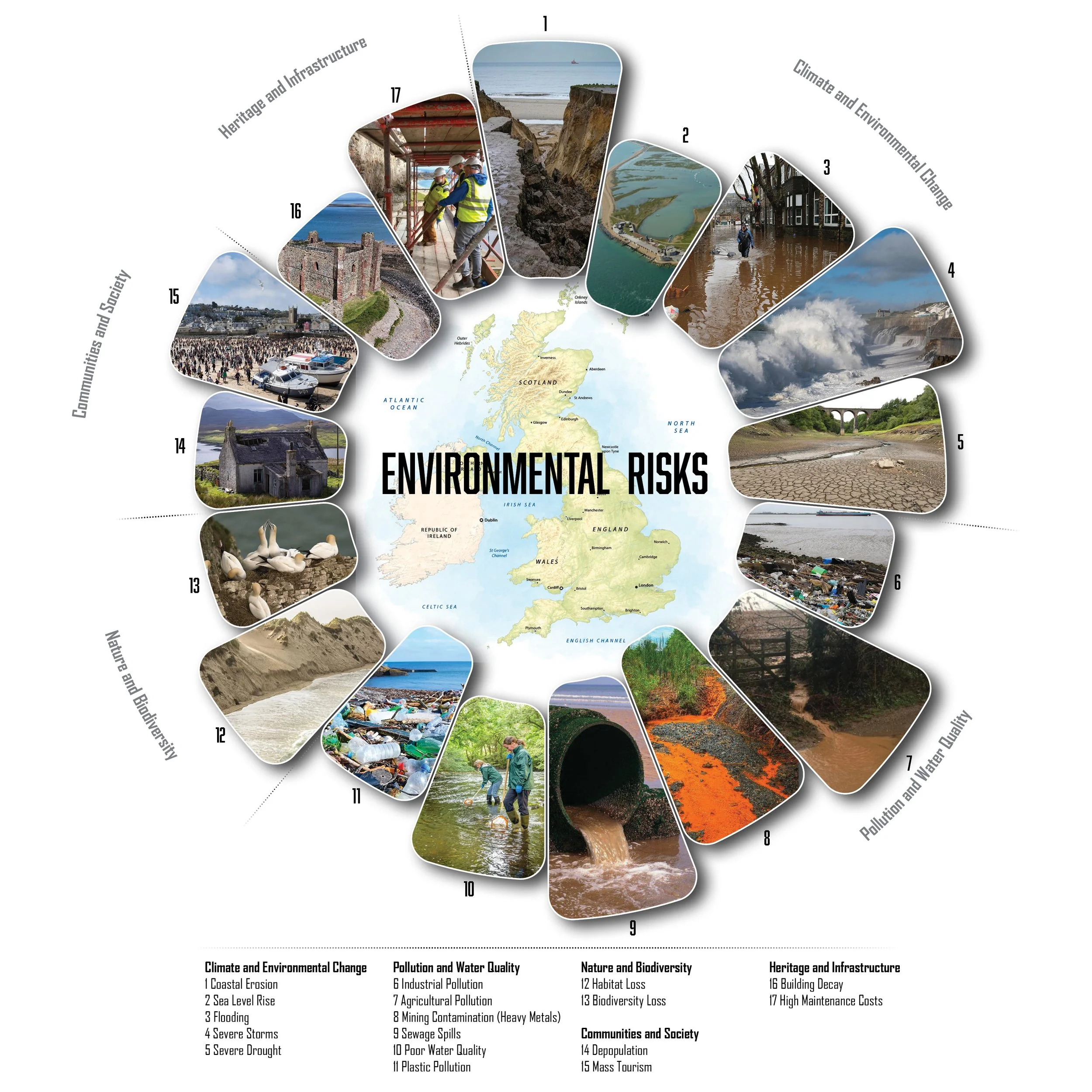
Explore the Map. This interactive map outlines the specific environmental and anthropogenic threats, ranging from coastal erosion and rising sea levels to urban encroachment and neglect, that each of these locations is currently facing.
Our goal is two-fold: to raise urgent public awareness and to create an immutable digital archive of these vulnerable spaces before they are irreparably damaged or lost forever. By leveraging cutting-edge reality capture technologies, we bridge the gap between environmental advocacy and digital preservation.
At Arquivis, we believe that digital documentation and preservation offer one of the most effective ways to safeguard knowledge, memory, and heritage for future generations. By creating accurate digital records today, we can support future restoration, research, education, and conservation efforts. The diagram below illustrates some of the key environmental and societal pressures currently affecting the UK's natural and built heritage.
State of the art Technology
The best context capture solutions
3D Gaussian Splatting: Utilising state-of-the-art 3D sScanners to capture highly detailed, photorealistic 3D models that preserve the exact atmosphere of the location.
Aerial drone mapping: we count with DJI drones equiped for automated photogrammetry missions. This allow us to get aerial data sets for more accurate 3D model production, with surveying accuracy.
360 Photography: with 360 cameras we can add an extra layer of realism, allowing the public to virtually step into these environments and experience their beauty firsthand.
