
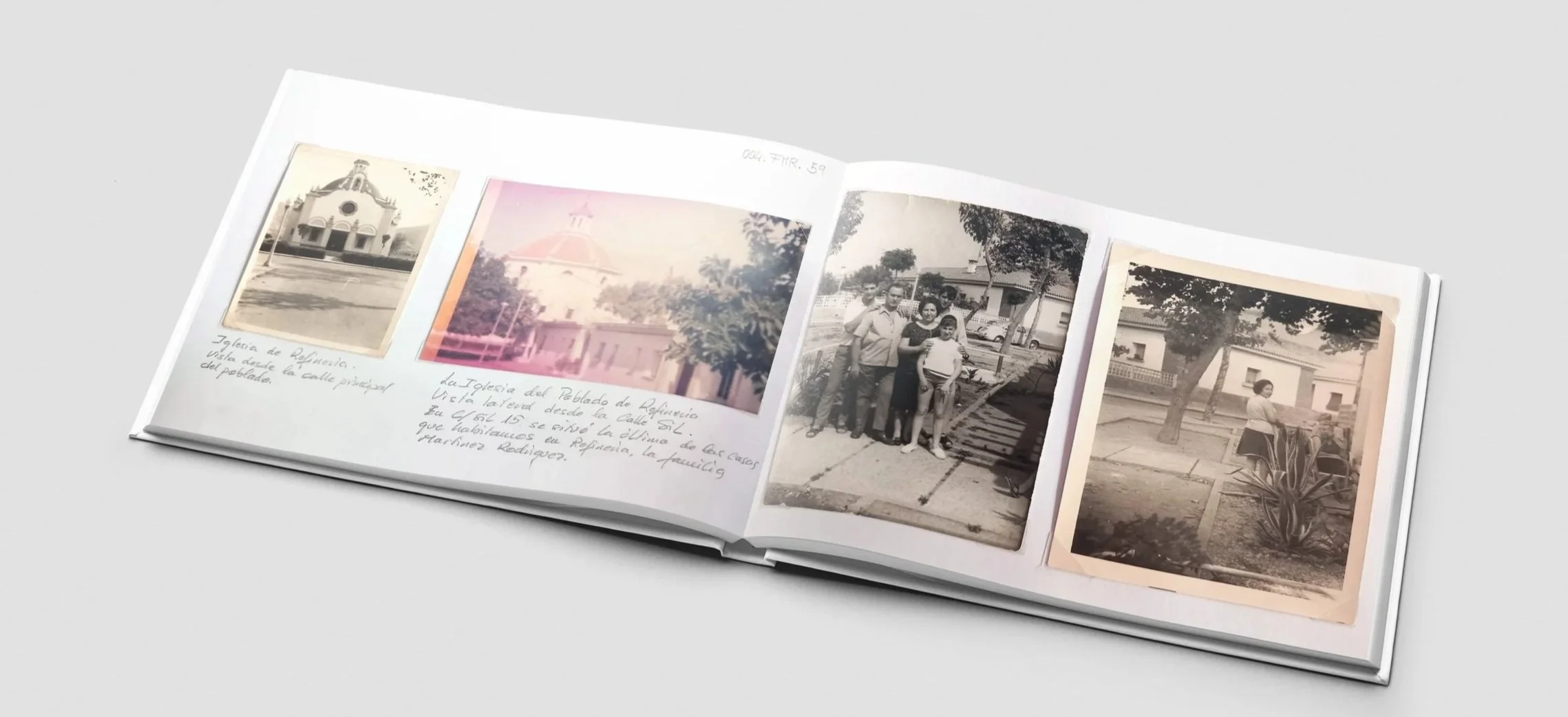
Refinería. Rebuilding Cartagena’s lost village with AI.
What happens when industrial progress bulldozes a town out of existence? In Cartagena, Spain, the Poblado de Refinería, home to 3,000 people and nearly 30 years of vibrant local culture, was demolished to make way for a mega-refinery. Its streets, plazas, and family homes vanished. To reclaim what was lost, a pioneering digital conservation project promoted by ARQUIAVIS is piecing together fading photographs and oral histories to reconstruct the village in virtual space. For the survivors and their families, it offers digital proof of a home that was almost forgotten. For historical preservation, it establishes a powerful new methodology for bringing lost communities back to life.
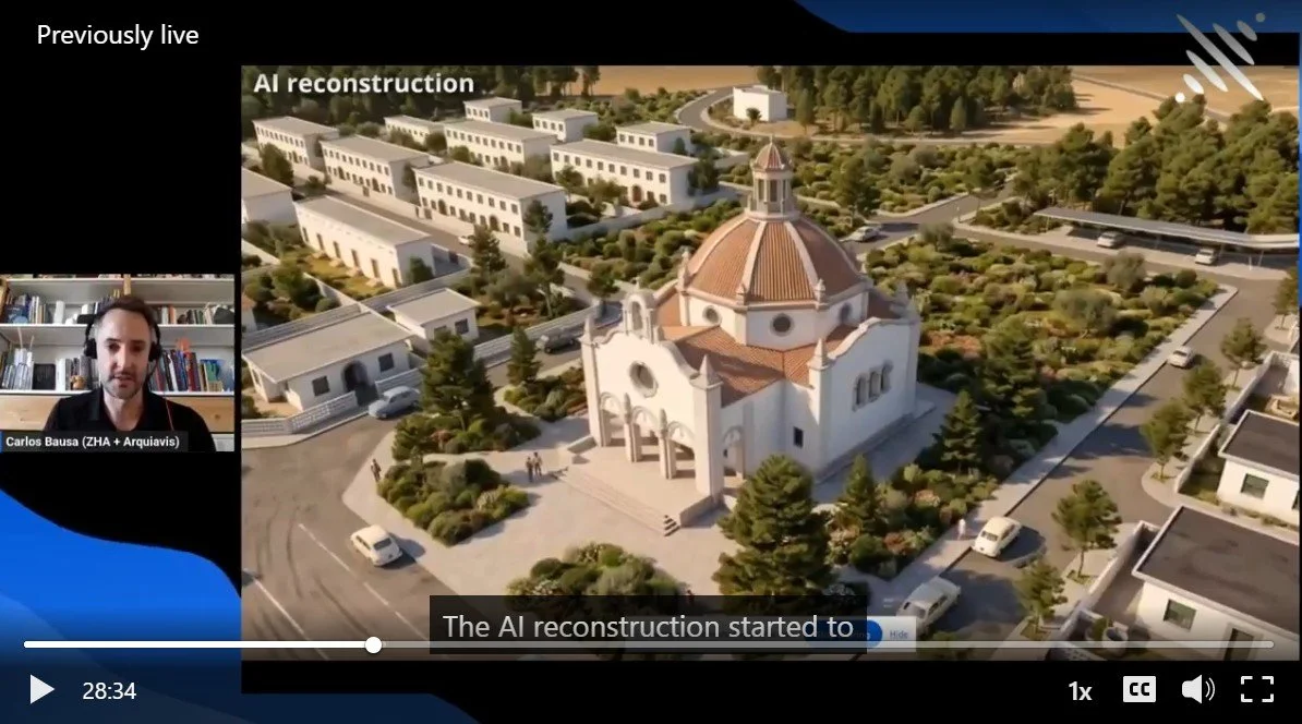
In August of 2026 I was invited by Xgrids Live to speak about this and other projects. Watch the online webinar to learn more about the Digital Reconstruction of Refineria and how we are using AI tools to make it happen.
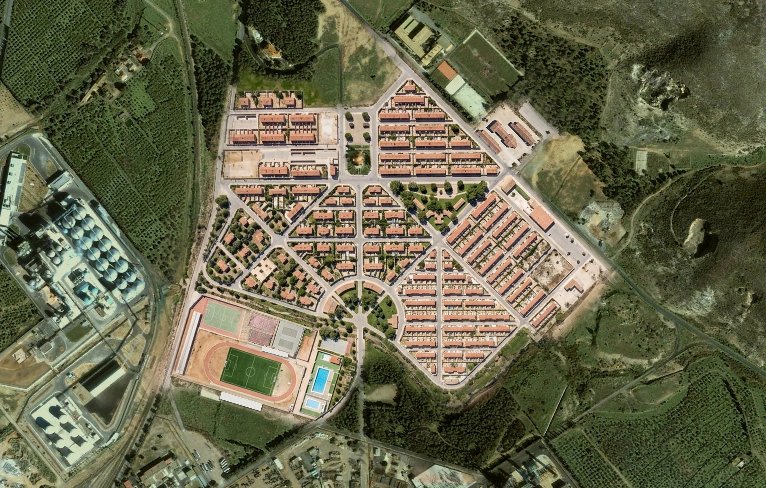
AI Based Satelite image
Long before it vanished, the town was a bold social experiment—a self-contained world designed to house industrial workers and their families alongside the plant. Spanish author Arturo Pérez-Reverter, who was born there, remembers an idyllic childhood spent roaming its sun-drenched Mediterranean landscape in total freedom. For a brief window in time, it was a thriving, utopian enclave, until the dark side of industrial progress, relentless refinery expansion and choking pollution, chased the families out and reduced the settlement to rubble
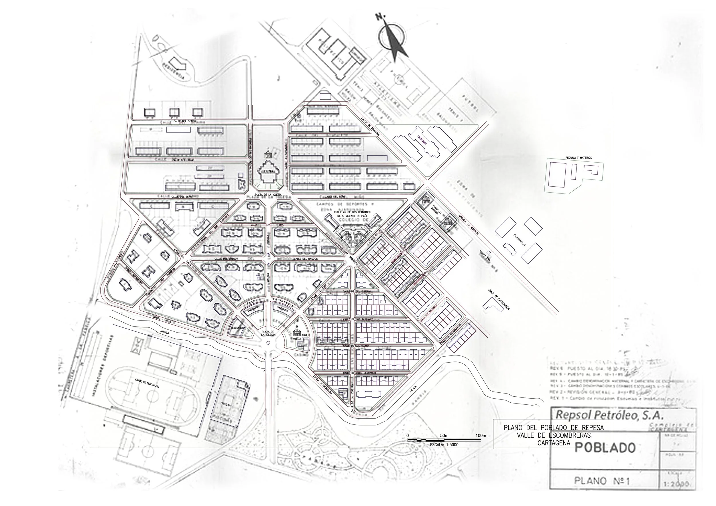
Using AI to create an aerial photo from a plan
Using artificial intelligence with advanced digital restoration, we at Arquiavis set out to map what time had erased. By piecing together a handful of low-resolution, black and white aerial snapshots alongside hand drawn blueprints recovered from the Historical Archive of Cartagena, we reconstructed the sweeping overhead imagery shown above. This workflow didn't just align historical coordinates; it illuminated the forgotten anatomy of the entire settlement, pinpointing the key industrial buildings and residential blocks where 500 families and nearly 3,000 residents built their lives from 1950 to 1990, before all 400 homes were levelled to the ground
This time-lapse animation shows how first the buildings were demolished and the land cleared out to allow the expansion of the oil refinery later. This process took almost 17 years, from 1990 until 2007
A 3D digital twin out of historic photos
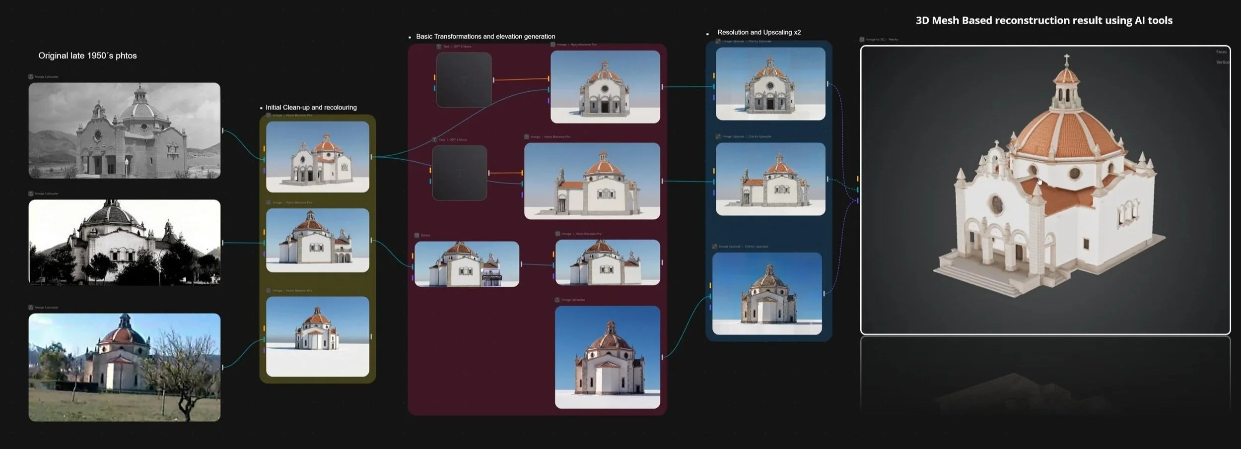
Resurrecting the village church, the community's architectural heart, proved our greatest puzzle. Surviving photos were badly degraded, so we developed a multi-step restoration pipeline. By feeding cleaned visual fragments into advanced AI algorithms, we at Arquiavis built precise 3D meshes, restored facade textures, and generated detailed normal maps, bringing this vanished landmark back to life.
Reclaiming a Vanished Heritage
Our ultimate vision at Arquiavis is to launch an interactive, collaborative platform where former residents and their descendants can rediscover—and help rebuild—their lost history. By enabling families to contribute their own photographs and oral histories, we are creating a crowdsourced digital sanctuary. Together, we are preserving the human memory of Poblado de Refinería, ensuring its forgotten legacy endures for future generations, researchers, and the families who once called it home.